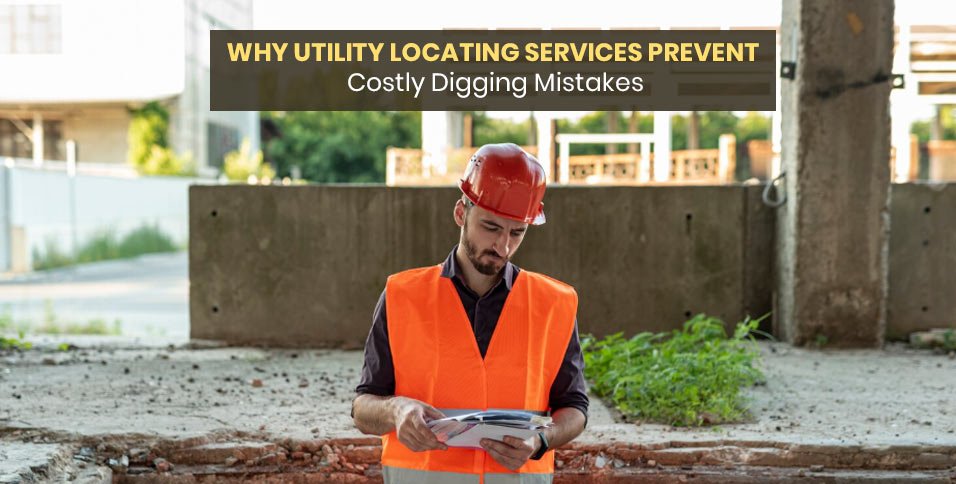
Excavation risk rarely announces itself from the surface. Gas, electric, water, sewer, fiber, drainage, and private service lines may run beneath pavement, turf, or compacted fill. One wrong bucket movement can injure workers, shut down service, and trigger repairs far beyond the planned budget. Reliable locating gives project teams clearer field evidence before digging begins, which is where real prevention starts.
Hidden Lines Create Real Risk
Old plans help, but subsurface conditions often tell a different story. Repairs, reroutes, abandoned pipes, and owner-installed lines can sit outside public records. Professional utility locating services give crews field-verified information before excavation starts, reducing guesswork around buried routes, shallow crossings, and conflict points that can threaten safety, project schedules, and budget control.
Strikes Are Expensive
A line strike can create repair invoices, lost labor, emergency callouts, inspection costs, and contract penalties. Even minor damage can interrupt service to tenants, customers, traffic flow, or production. Larger failures may require shutdowns and formal incident review. Locating is usually a small cost compared with restoring damaged infrastructure and recovering lost time.
Safety Comes First
Buried utilities can create immediate physical danger. A damaged gas line may release fuel into a trench. Contact with an energized conduit can cause shock, burns, or fire. Broken water mains can flood excavations and weaken trench walls. Clear markings help operators slow down, choose safer methods, and brief crews before work starts.
Maps Are Often Incomplete
Record drawings age quickly. Renovations, emergency repairs, utility upgrades, and private additions may never be reflected in the final plan set. Schools, plants, retail sites, farms, and older buildings often contain undocumented lines. Public marking programs usually stop at service boundaries. Field locating verifies the actual site, not just archived documents.
Common Digging Mistakes
Most preventable hits begin with assumptions. A crew may expect a straight route between visible access points. Another may believe depth stays uniform across the property. Prior grading, soil movement, utility repairs, and buried structures can change those patterns. Locating helps reveal offsets, bends, shallow sections, and tight crossings before excavation exposes them.
Better Planning
Accurate field marks make planning more realistic. Managers can adjust trench routes, shift boring paths, or schedule test holes where conflicts appear likely. Estimators can account for hand digging, vacuum excavation, or extra protection. Engineers can revise layouts before equipment arrives, which keeps crews productive and schedules more dependable.
Ground Penetrating Radar
Ground penetrating radar sends pulses into the ground and reads reflected signals. It can help detect nonmetallic pipes, buried tanks, slabs, voids, and other subsurface features. Soil moisture, clay content, depth, and surface material affect results. Used properly, it can identify targets that metallic tracing alone may miss.
Electromagnetic Locating
Electromagnetic locating traces conductive utilities by applying or detecting a signal. Technicians follow that signal across the work area to mark probable routes. This method supports locating many power, communication, tracer wire, and metallic pipe systems. It can also provide depth estimates where access, signal strength, and site conditions allow.
Combined Methods Improve Confidence
No locating method finds every buried feature in every setting. Strong fieldwork compares equipment readings with surface clues, access points, site history, and visible utility structures. Cross-checking reduces uncertainty and helps separate likely service routes from unrelated buried material. Better confidence leads to better excavation decisions.
Reports Help Teams Communicate
Good documentation keeps key findings useful after paint fades. Reports may include photos, sketches, mapped routes, marked limits, access notes, and stated constraints. Owners, engineers, supervisors, and subcontractors can then work from the same record. Those details also help future maintenance teams plan with better context.
Private Sites Need Extra Care
Private properties often contain more hidden infrastructure than owners expect. Irrigation, lighting, fuel, security, drainage, communications, and process lines may cross active work zones. Commercial campuses, apartment properties, schools, and industrial yards can be especially dense. Locating before excavation protects those assets and reduces surprises once crews mobilize.
Liability Can Grow Quickly
A utility strike can raise questions about planning, training, notice, supervision, and site control. Damage that affects people, property, or nearby operations may lead to claims. Documented locating helps show that reasonable precautions were taken before excavation. That record supports better risk management for owners, contractors, and field teams.
Crews Still Need Caution
Locating lowers risk, but it cannot remove every hazard. Depth, material type, access limits, soil conditions, and interference can affect detection. Crews should respect tolerance zones, expose critical lines carefully, and slow excavation near marked paths. Safe digging depends on both accurate information and disciplined field behavior.
Conclusion
Costly digging mistakes usually begin before excavation starts. They tend to result from uncertain records, rushed planning, missed private lines, or overconfidence about buried conditions. Utility locating places better evidence at the decision point, when route changes and protective methods are still practical. For owners, engineers, and contractors, the lesson is direct: confirm what lies below, then dig with care.