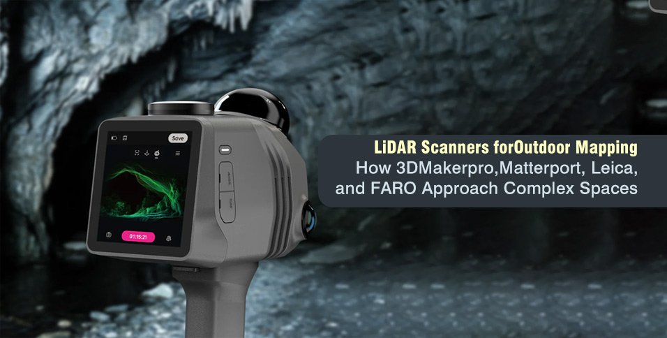
Outdoor mapping is rarely straightforward. Trees block sightlines, reflective materials affect laser returns, buildings create hidden areas, and uneven terrain limits equipment placement. A lidar scanner records surrounding surfaces as three-dimensional point data, but the usefulness of the final model depends on the site, capture method, conditions, and processing workflow.
Systems approach these challenges differently. Some collect data while an operator walks, while others record the area from fixed positions. A mobile lidar scanner may suit projects that prioritise movement, while tripod-based and platform-centred systems support controlled capture or visual presentation. Comparing 3DMakerpro, Matterport, Leica, and FARO shows where each workflow may be appropriate.
Why Outdoor LiDAR Mapping Is Difficult
LiDAR directs laser pulses toward surfaces and records the returning light. These measurements form a point cloud representing terrain, structures, vegetation, machinery, and other visible features.
Common outdoor challenges include:
- Trees, walls, vehicles, and equipment that hide surfaces
- Water, glass, polished metal, and dark materials that produce incomplete returns
- Moving people, traffic, or vegetation that create unwanted points
- Long distances that reduce detail on small features
- Limited access around slopes or fenced areas
Planning the route or tripod positions can reduce these issues. Important surfaces should be visible from several directions, while neighbouring scans need shared geometry for accurate alignment.
How Each Brand Approaches Complex Spaces
The four systems differ in movement, setup, processing, output, and operator control.
| Brand and Model | Capture Style | Workflow Characteristic | Typical Applications |
| 3DMakerpro Raven | Portable mobile scanning | Records spatial data while moving | Outdoor spaces, properties, terrain, and spatial content |
| Matterport Pro3 | Stationary tripod capture | Creates a navigable digital twin | Property records, facilities, and virtual walkthroughs |
| Leica BLK2GO | Handheld SLAM scanning | Builds a point cloud during a walking route | Buildings, industrial areas, and connected spaces |
| FARO Focus | Stationary terrestrial scanning | Captures data from planned positions | Construction, surveying, and infrastructure |
3DMakerpro Raven and Mobile Spatial Capture
The 3DMakerpro Raven uses a portable workflow combining LiDAR measurements with image capture. An operator moves through the environment while the system records the surrounding area instead of completing a separate scan at every position.
This approach can be relevant for paths, outdoor structures, properties, terrain, and locations where relocating a tripod would be impractical. Results still depend on steady movement, environmental detail, route planning, and overlap. Looped routes and revisited areas can support trajectory correction, while open fields and blank walls may provide fewer tracking features.
Matterport Pro3 and Visual Digital Twins
Matterport Pro3 combines LiDAR and panoramic imaging from repeated tripod positions. The individual captures are processed into a connected model that users can explore remotely.
The workflow can support property records, construction progress documentation, facilities, and virtual walkthroughs. It is relevant when visual navigation and model sharing are important. Projects requiring georeferenced coordinate systems, specialised classification, or direct access to original sensor data require additional processing or a different workflow. Matterport offers processed E57 exports, but these are not inherently georeferenced.
Leica BLK2GO and Handheld SLAM Mapping
Leica BLK2GO records point clouds and images while the operator walks. It uses simultaneous localization and mapping, or SLAM, to estimate the scanner’s changing position and reconstruct its route.
This method can document buildings, industrial areas, corridors, courtyards, and connected outdoor spaces without repeated tripod placement. Trajectory quality depends on site geometry and movement. Repetitive structures, open areas, and abrupt turns can affect position estimation, while slow movement and looped routes can support alignment.
FARO Focus and Stationary Terrestrial Scanning
FARO Focus scanners use a stationary terrestrial workflow. The scanner captures the surrounding scene from a tripod before being moved to another planned position. The separate point clouds are registered using overlapping surfaces, targets, or reference features.
This approach is relevant when controlled viewpoints and detailed measurements are more important than continuous movement. Uses include façades, construction sites, industrial equipment, and infrastructure. Large or obstructed locations may require numerous positions to avoid gaps and maintain reliable registration.
Choosing a LiDAR Scanner for the Project
The appropriate system depends on the intended output. A navigable property model has different requirements from an engineering survey, terrain record, or infrastructure inspection.
Before selecting equipment, teams should define:
- Required measurement tolerance
- Site size and accessibility
- Required point density
- Colour imagery needs
- Preferred file formats
- Intended CAD, GIS, or modelling software
- Acceptable processing method
Mobile scanners can suit connected routes, stairs, and sites where rapid movement is useful. Wooded areas and open terrain may require careful route planning, loop closures, or external control because vegetation and limited fixed geometry can reduce tracking reliability. Tripod systems can be more suitable for critical geometry and planned long-range capture. Digital twin platforms may suit projects where remote viewing is a central objective.
Complex projects may combine methods. Stationary scanning can record important structural areas, while mobile equipment documents connecting paths or less accessible sections. The datasets need compatible reference information and sufficient overlap for reliable alignment.
Improving Outdoor Scan Quality
No scanner automatically guarantees a complete point cloud. Field planning remains important across all workflows.
Clear, calm conditions can reduce interference from rain, airborne dust, fog, and moving vegetation. Surfaces near corners, trees, vehicles, or equipment should be recorded from more than one direction. Transparent and reflective materials may need extra attention because returns can be incomplete.
Operators should review the data before leaving the site. Coverage gaps, weak trajectories, registration problems, and missing surfaces are easier to correct during the original visit.
Processing should also be considered in advance. Registration, point removal, colourisation, classification, and conversion may take longer than capture. A carefully planned dataset can be more useful than a larger point cloud containing duplicated surfaces or poorly aligned sections.
Conclusion
3DMakerpro, Matterport, Leica, and FARO use different methods for documenting complex spaces. Raven uses mobile capture, Pro3 creates digital twins from stationary positions, BLK2GO applies handheld SLAM, and Focus records point clouds through planned tripod setups. No approach is suitable for every outdoor project.
The right lidar scanner depends on site access, accuracy requirements, output format, processing preferences, and intended use. Comparing complete workflows rather than isolated specifications helps teams reduce missing coverage and produce spatial data that remains useful after fieldwork.